
Orbit Intellixir Version 16
New homepage and improved graphs
This version is primarily based on user requests: more than 30 features have been improved. Additionally, new statistics have been created: player benchmark and patent estimated cost analysis.
New home page
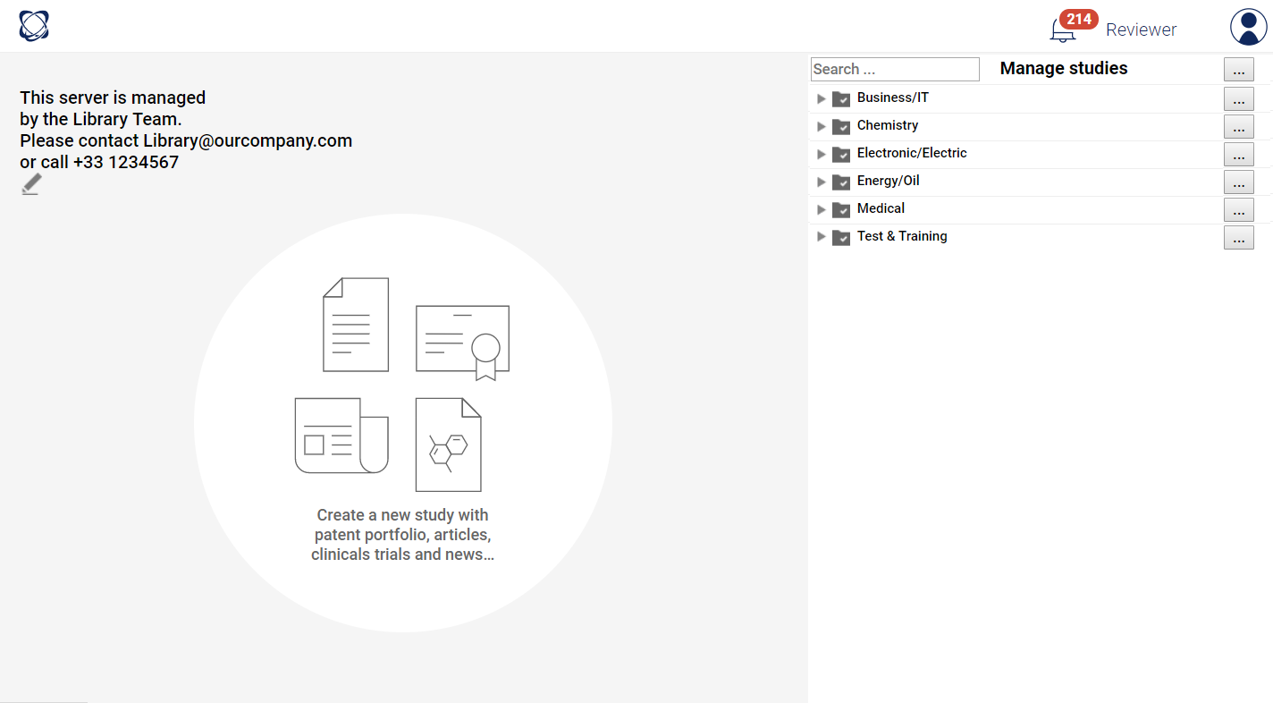
When connected, a new homepage is displayed. Its design is now closer to other questel products, particularly orbit express.
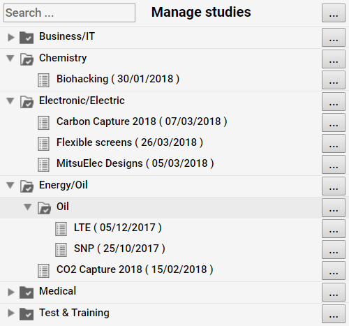
More than a new design: you can now manage your studies at a multi-level explorer where you can drag & drop your studies.
New page "Benchmark"
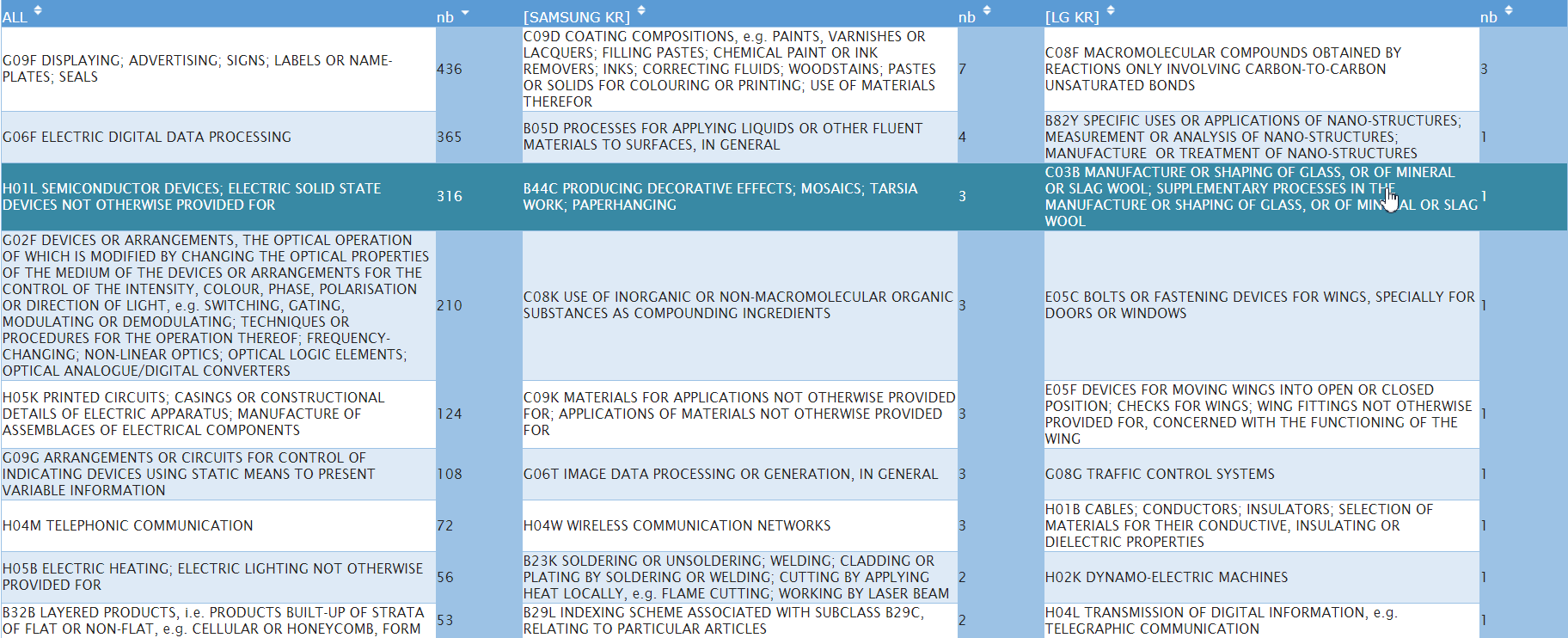
This feature allows you to identify differences and specificities between players. here are examples of uses:
Estimated patent cost analysis
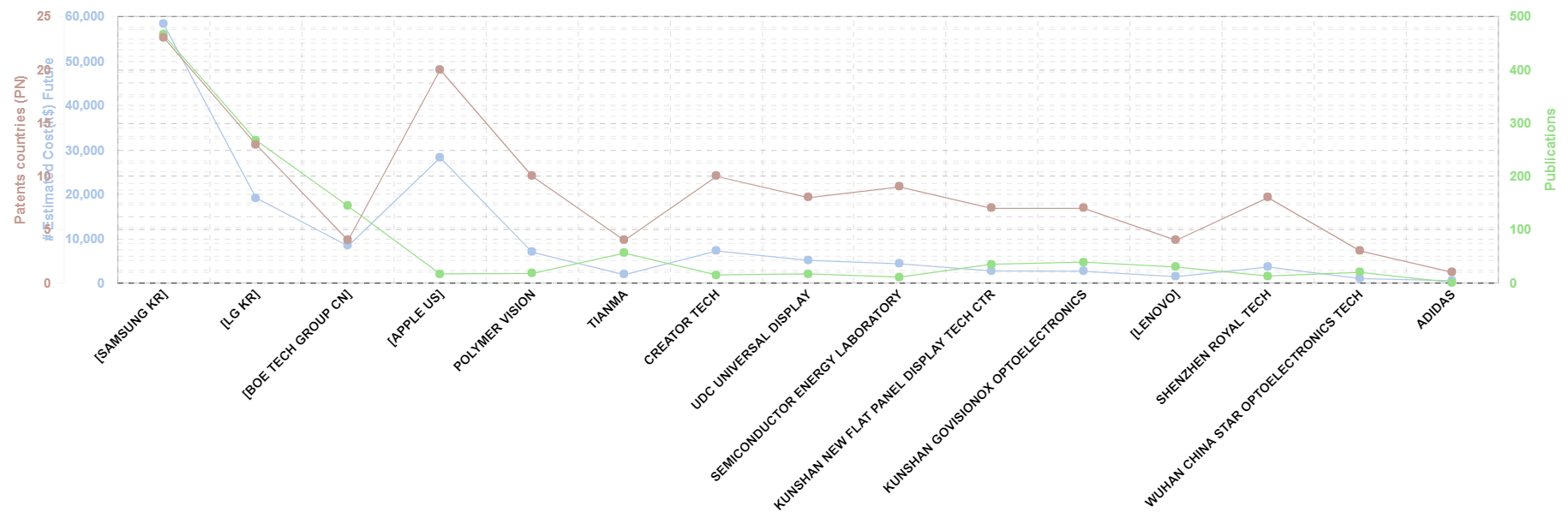
Since a few weeks, Orbit Intelligence and its patent family database Fampat, offers estimated cost for patents. This information is based on Orbit Asset algorithms, the Questel patent portfolio management system. Orbit Intelligence platinum users can get information about past and future estimated costs regarding patents and families.
Please contact helpdesk to activate this feature.
Landscape map improvements
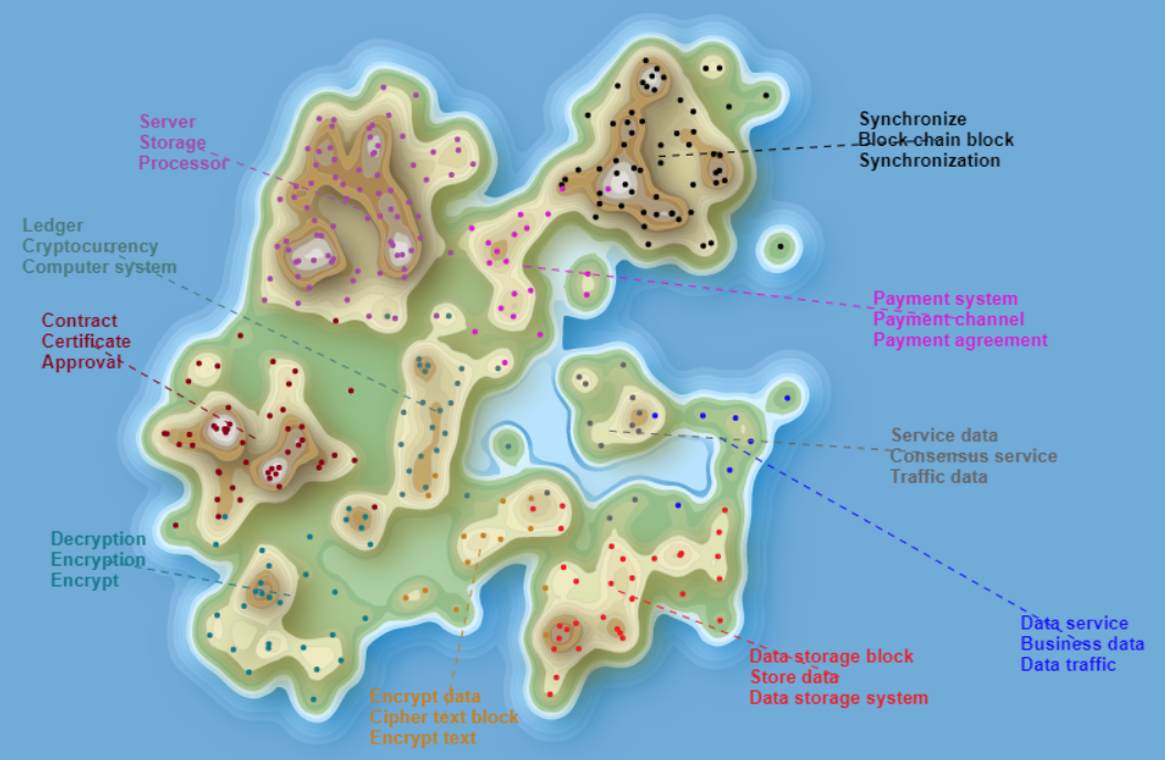
Several options appear in this feature:
Phylogenic tree improvement
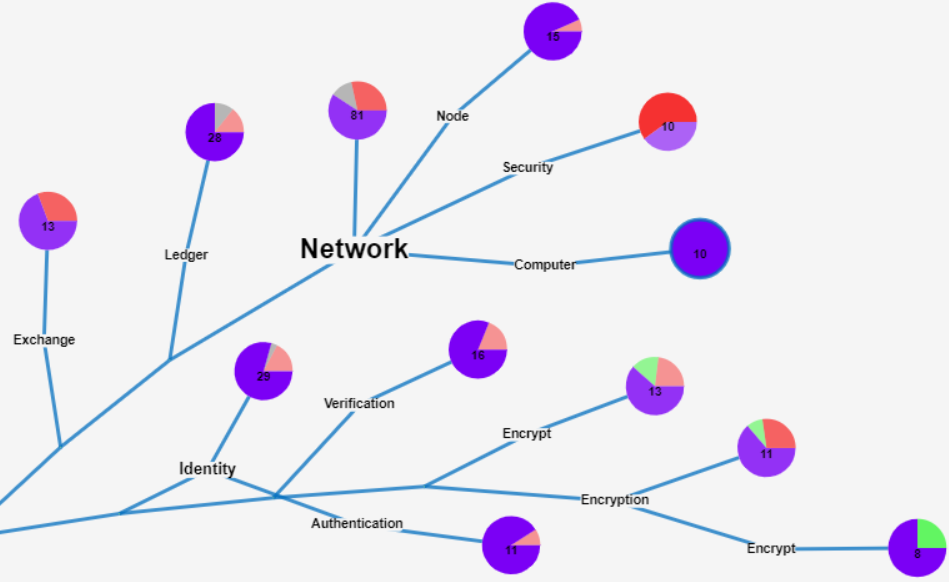
Landscape map improvements are partially applied to the phylogenic tree.
A specific improvement has been made in the phylogenic tree: When a cluster contains documents linked to several search queries, a pie-chart allows you to see the ratio of each query.
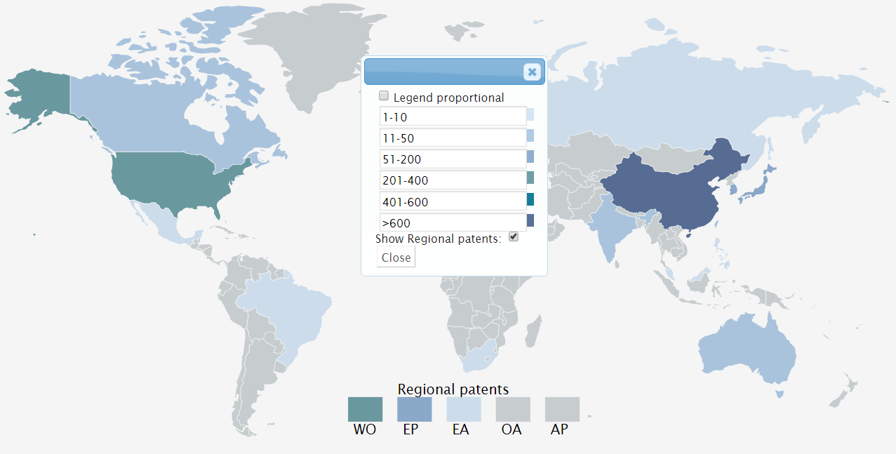
Geographical map settings
Performance improvement
Optimizations have been made to reduce database loading processes by 70%! The calculation of accelerations has also been improved.
20+ other enhancements come with this new version, and the help manual has been updated, in French and English.